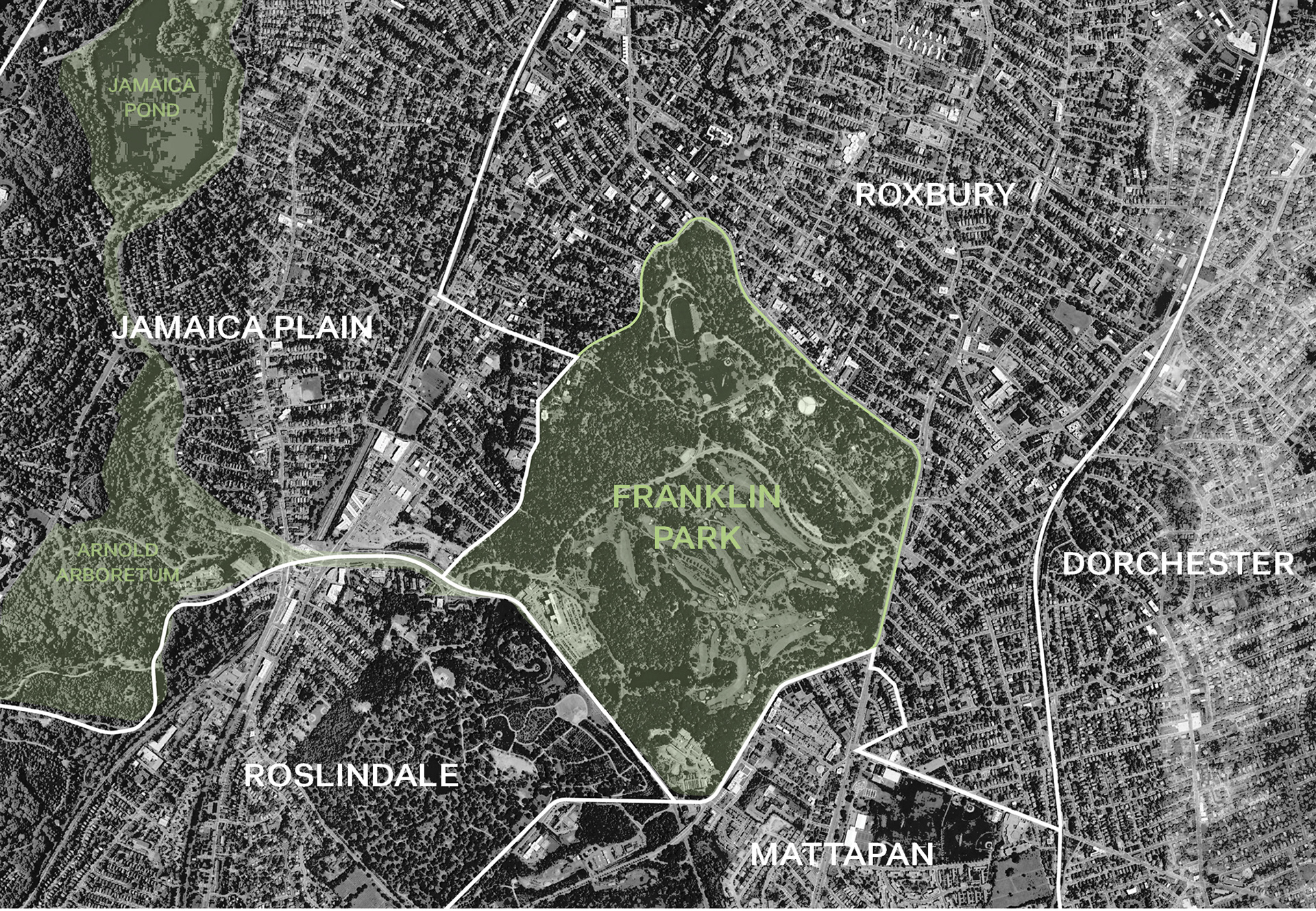
Franklin Park and its neighborhoods

Material drawing study of found objects from the park

A photomontage based on topographical studies of the park meant to evoke the spirit of the site's geology
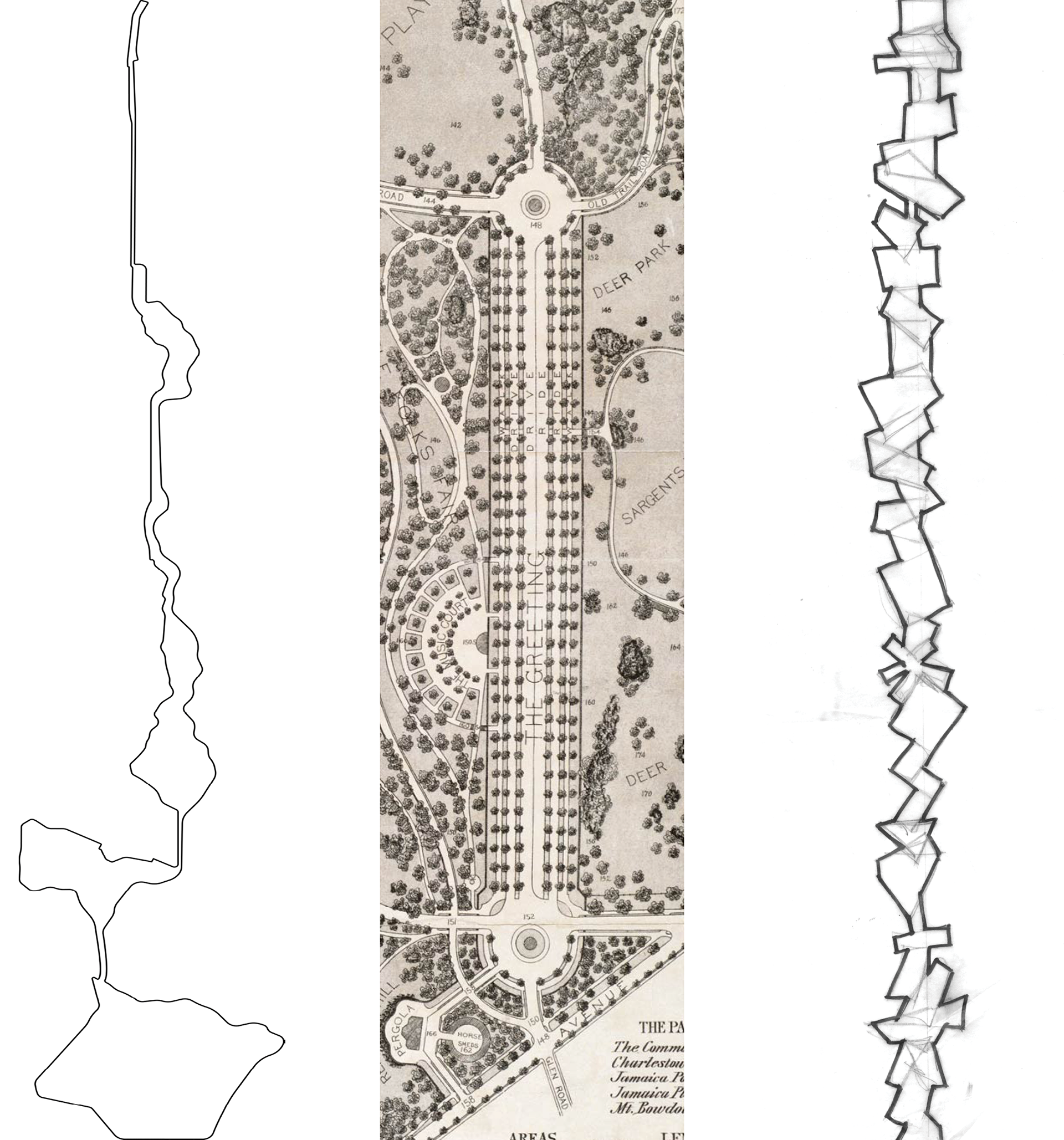
Exploring the sequence (left to right): Boston’s Emerald Necklace park system; Franklin Park’s unbuilt “The Greeting”; an early sketch of the dynamic line

A topographical model of the park was used to explore the potential of different central path alignments
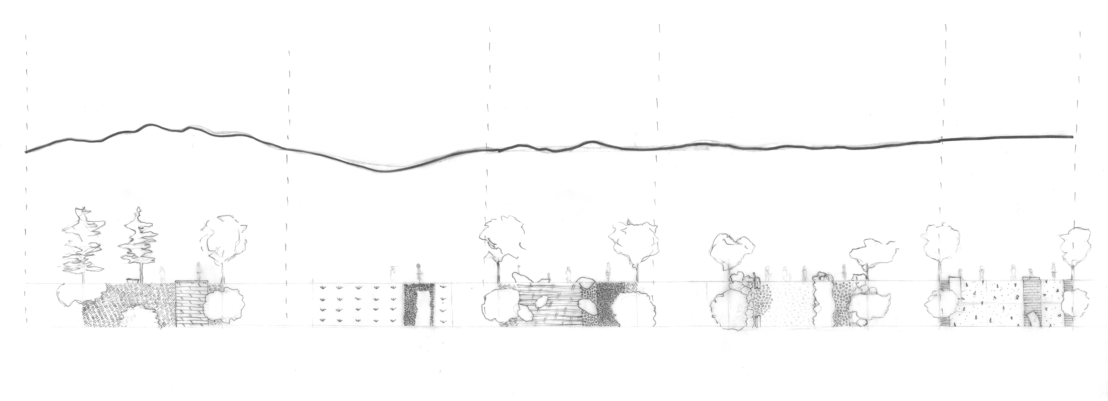
Early conceptual drawings looked at how material changes (including ground covers, paving, and planting) might change based on the sectional condition of the straight path

Site plan highlighting the central programming spine that connects the Dorchester and Jamaica Plain neighborhoods

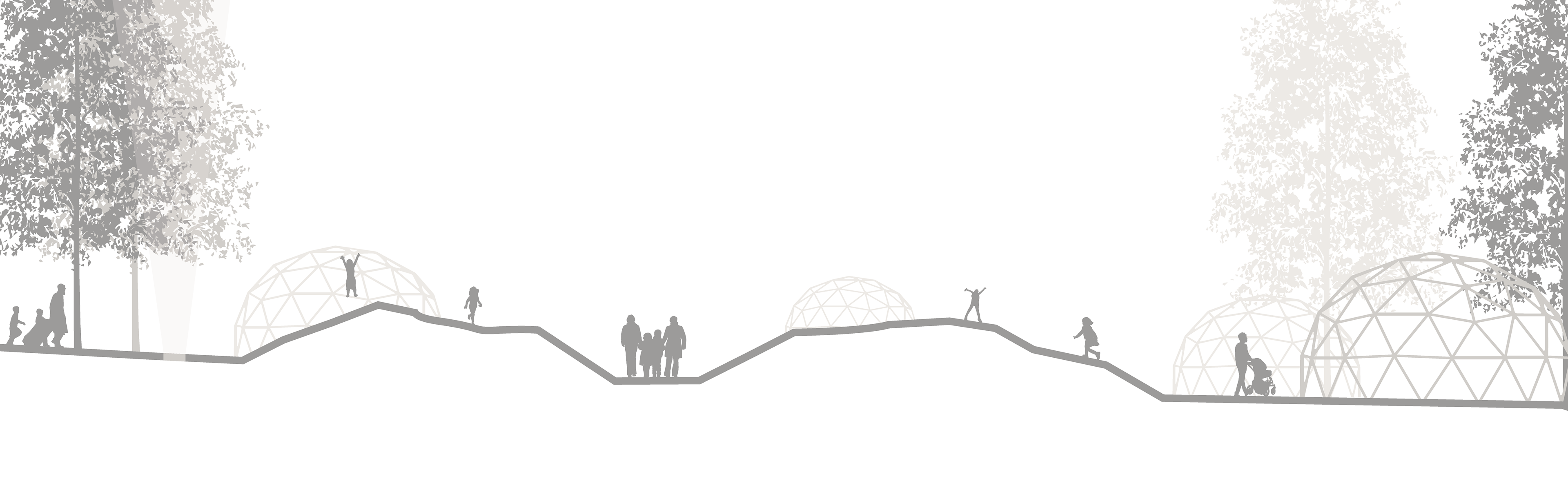
Topographical changes along the line

Program changes along the line
CLIMB

SHOP

REFLECT
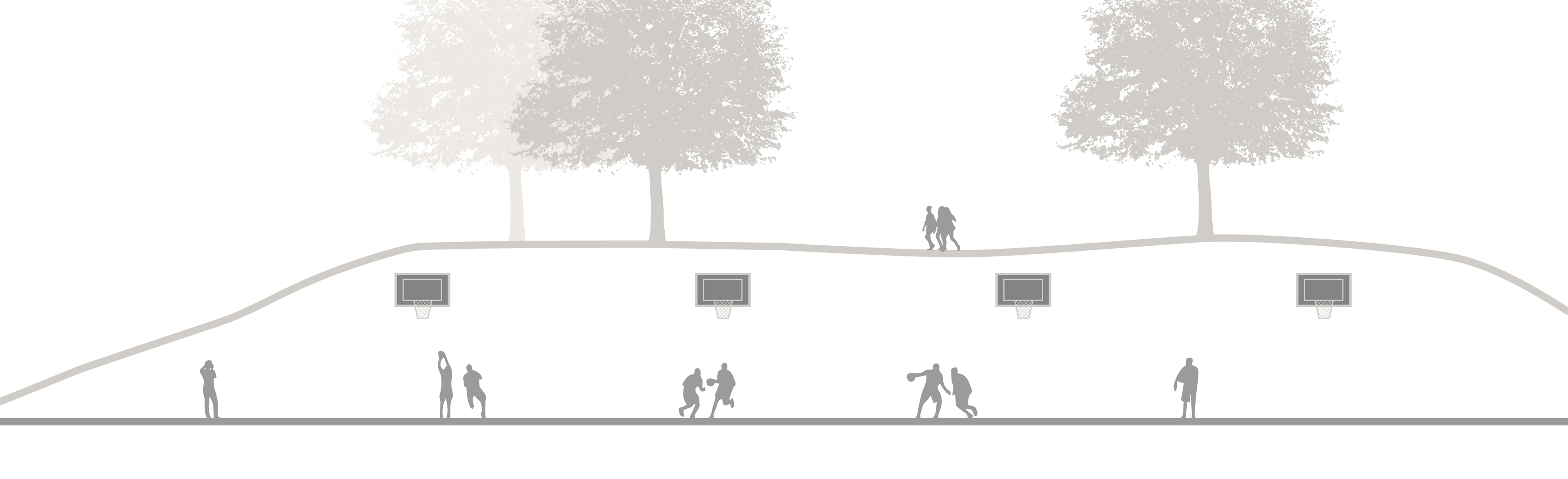
PLAY

A conceptual aerial view shows how the lighting scheme enlivens the evening life of the park and expresses its geometry
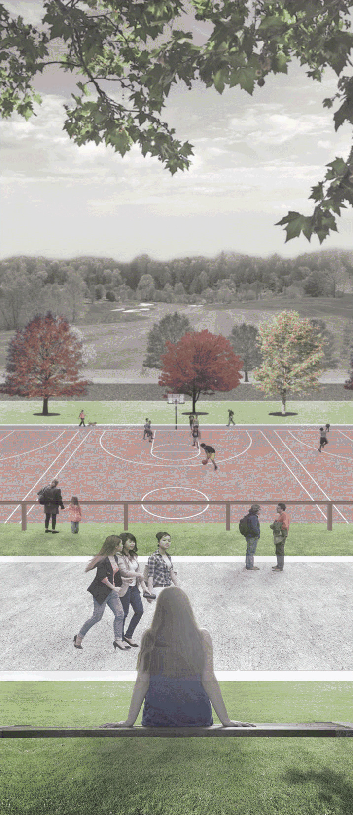
A view taken from the primary path looks out over basketball courts, the carriage road, and the existing public golf course